
.webp)


.avif)

What Transportation Engineers Can Learn From the Roads They Already See
How can transportation teams finally uncover the real traffic patterns their current tools can’t see?

Cities have invested heavily in mobility analytics, traffic sensors, and Intelligent Transportation Systems (ITS) platforms to understand how people and goods move through their road networks. These tools provide an important foundation. But even with advanced systems in place, traffic teams still face the same challenge:
They see the patterns, but not always the truth.
Maybe the model says a rural corridor carries 12,000 vehicles a day, but the sample size is thin. Maybe your intersection cameras give you great visibility at key points, but nothing midblock. Maybe your data arrives weeks after conditions have already shifted.
You have good systems. You just need a clearer picture.
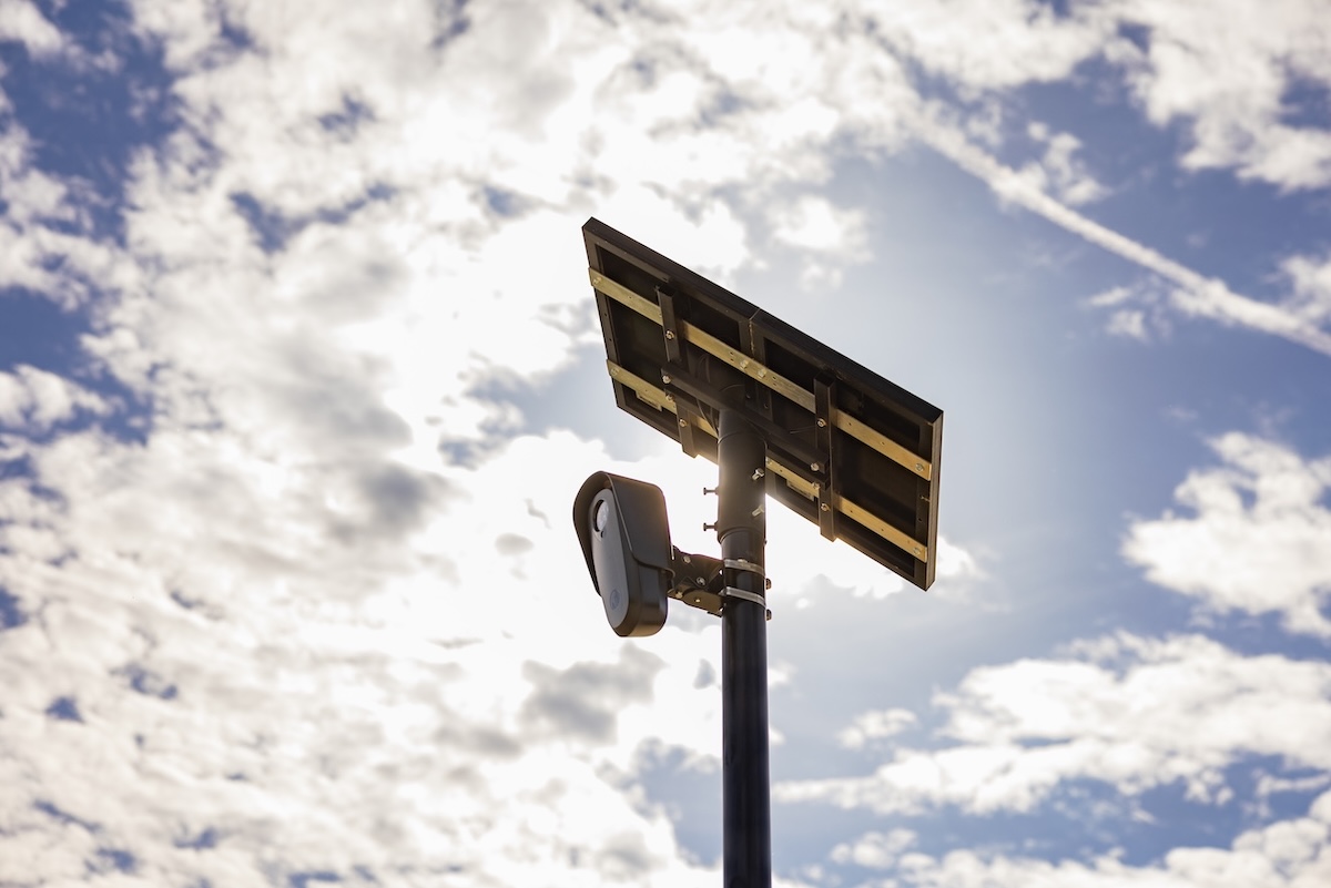
Flock Safety helps fill the gaps. With real-world, vehicle-level data collected minute by minute, cities gain a ground truth data source that strengthens the platforms they already rely on. It is not a replacement. It completes the story.
See the demand your current tools cannot capture
Mobility datasets built on connected devices offer wide coverage and useful trendlines. But the quality of what you see depends entirely on sample size. And in many corridors, that sample size changes by the hour.
Rural roads. Low volume segments. Edges of town.
These are often the places where you need clarity most, and where device data is thinnest.
Flock Safety measures actual unique vehicles using license plate readers.
You see the real number, not the estimated number.
Benefits:
- True travel patterns across the full network
- Reliable visibility on rural and low-volume corridors
- Verifiable counts for planning, forecasting, and economic development
Sampled data shows the trend. Direct observation shows the ground truth to calibrate your trends.
Understand the vehicle mix behind the movement
Broad vehicle classes can help, but they often leave important questions unanswered. What kind of freight is increasing? Where is delivery activity growing? Are visitors coming from nearby counties, or from across the region?
Flock Safety provides make, body type, and state of registration.
You finally see the detail behind the volume.
Benefits:
- Identify freight and delivery traffic early
- Inform street paving schedules and corridor design with granular HPMS classification detail
- Understand visitor origin and travel patterns
Better detail leads to better planning.
Gain real-time awareness, not delayed updates
Probe datasets are often delayed by several weeks. They are powerful for historical analysis, but insufficient for daily operations.
Flock Safety updates minute by minute.
When a slowdown, a bottleneck, or a potential incident occurs, you see it right away.
Benefits:
- Faster operational response and traffic incident management
- Stronger coordination with public safety
- Better visibility during events, emergencies, and atypical congestion
Historical tools tell you what happened. Real-time tools provide actionable data for immediate response.
Improve coverage where you need it, not just where sampling is strong
Most cities can point to corridors where their data is solid and corridors where it struggles. Those pockets of uncertainty make planning harder.
Because Flock Safety does not rely on third-party data aggregators, we deliver consistent visibility everywhere a camera is placed.
Benefits:
- More equitable corridor analysis
- Stronger grant and compliance reporting
- Full network clarity, not selective visibility
Every road deserves to be understood.
Keep teams safe with continuous, non-intrusive data collection
Short-term counts require field crews in live traffic. In-pavement sensors require lane closures and construction, and degrade over time. These deployments add risk, strain staff capacity, and cost more in the long run.
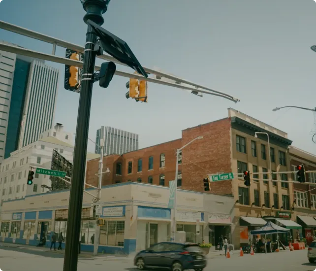
Flock Safety uses existing fixed cameras.
No cones. No closures. No exposure.
Benefits:
- Safer staff
- Less operational disruption
- Longer, more consistent datasets for seasonal factors
More visibility without stepping into the roadway.
Strengthen every system you already rely on
Your current tools are good at what they do. They simply need a reference point they can trust.
Flock Safety provides a continuous, vehicle-level dataset that helps validate and calibrate existing mobility platforms.
Benefits:
- More accurate models and forecasts
- A clearer understanding of where sensors miscount
- Greater confidence when justifying project decisions to the public
It is not about changing systems. It is about improving them.
Integrate clarity, not complexity
Traffic teams do not want another dashboard. They want better data inside the dashboards they already use.
Flock Safety integrates with existing visualization tools, so traffic, planning, economic development, and public safety can work from a single shared source of truth.
Benefits:
- Cross-department alignment
- Workflow efficiency
- Network-wide visibility without additional software
Your workflow stays the same. Your insight gets sharper.
The future of mobility is not more systems. It is more clarity.
Cities do not need to overhaul their ITS or mobility platforms. They need a complementary dataset that fills the natural gaps left by sampling limitations, delayed updates, broad classifications, and point-based sensors.
Flock Safety provides unique counts, detailed classification, real-time visibility, continuous rural coverage, cost-effective expansion, and a reliable ground truth dataset that strengthens every tool cities already depend on.
When cities combine what their systems model with what Flock Safety observes, they gain something powerful.
They gain clarity. And clarity leads to smarter planning, safer operations, and decisions rooted in truth.


Protect What Matters Most.
Discover how communities across the country are using Flock to reduce crime and build safer neighborhoods.