
.webp)


Plan Better. Respond Smarter. Recover Faster.
Gain real-time visibility during natural disasters, evacuations or large-scale emergencies.
Speak with an Expert
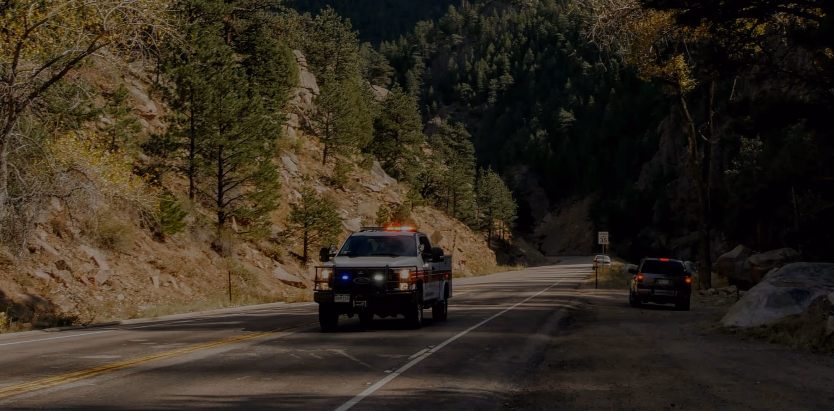
Seconds Matter When Lives Are on the Line
Emergency declarations are rising. Real-time data helps communities prepare, respond, and rebuild.


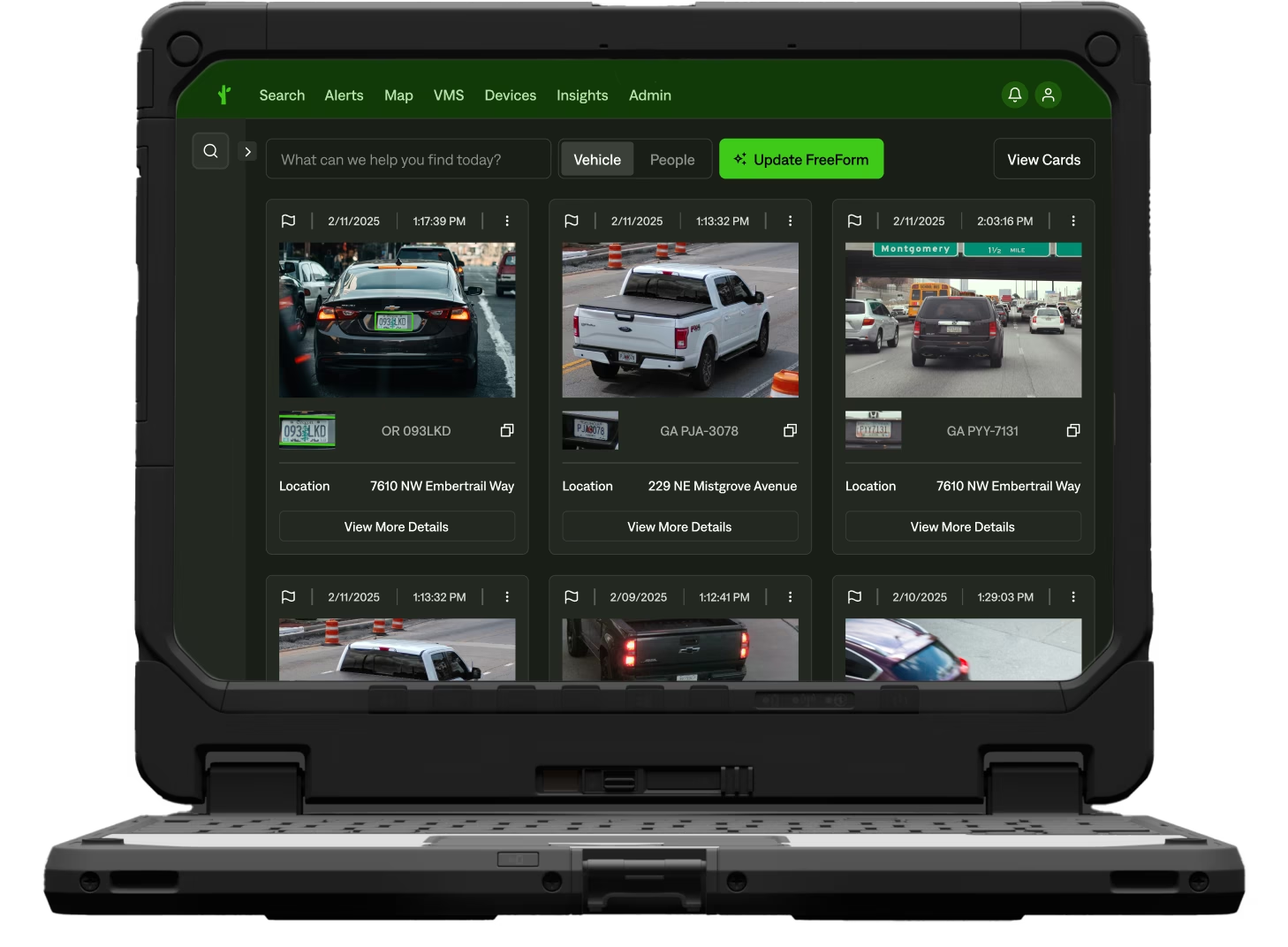
Keep Communities Safer with Faster Intel Sharing
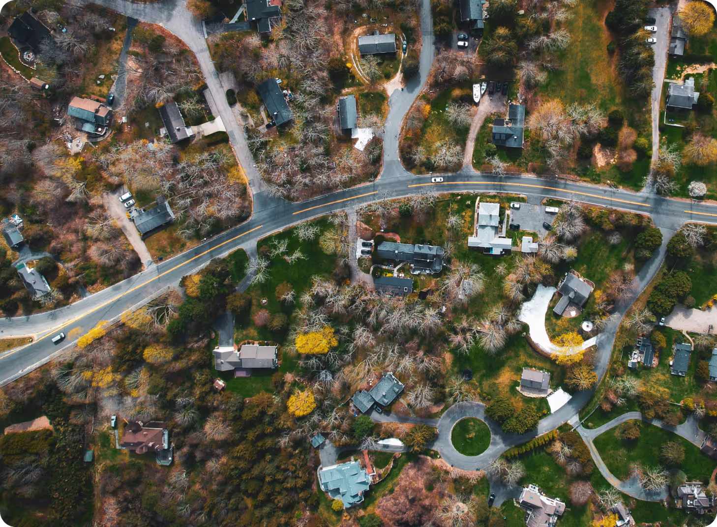
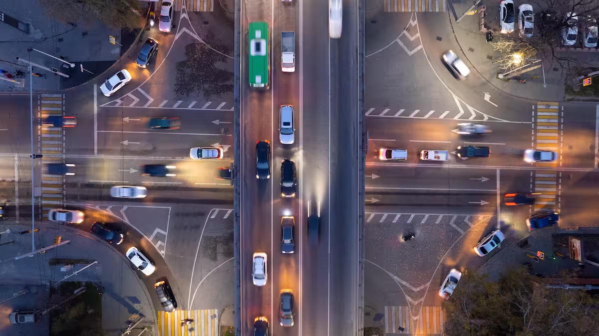
See Who’s in the Evacuation Zone
Use LPR and video to identify the number of vehicles entering or leaving evacuation zones. Share data with local, state, and federal agencies to better inform sheltering, barricade placement, and search operations.
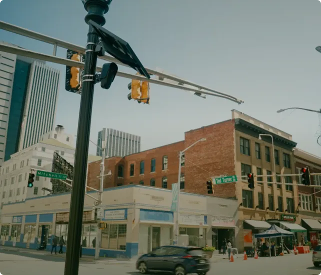
Coordinate Across Jurisdictions
From state EOCs to tribal, local, and federal responders, unify data and communication tools. Create one common operating picture using vehicle movement, real-time alerts, and video footage.
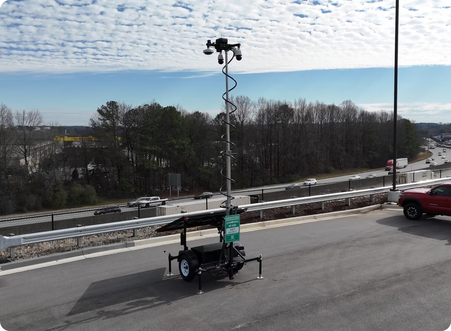
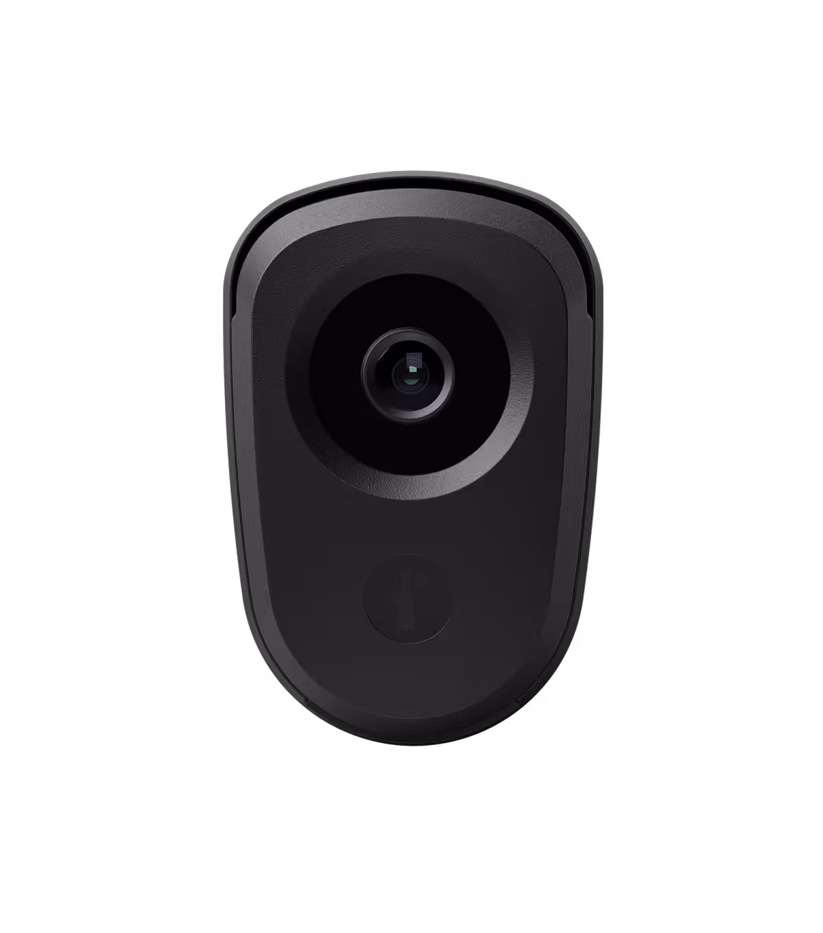
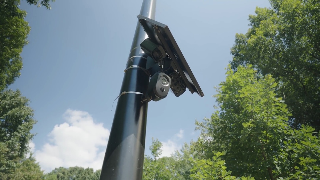
Stay Online When Systems Go Dark
Earthquakes, hurricanes, and wildfires can knock out traffic cameras and comms towers. Flock’s solar-powered, LTE-connected mobile solutions restore visibility fast—no trenching, cabling, or grid power needed. Deploy instantly at key intersections, evacuation routes, or relief zones.
Why Choose Flock for Parking Management

Fast Deployment
Installs in hours using solar and LTE technology. No IT tickets, hardwiring, or facilities disruption.
Enhanced Enforcement
Automates monitoring without adding staff or increasing field presence.
Data-Driven Decisions
Provides timestamped image evidence to support citations and appeals.
Keep Communities Safer with Faster Intel Sharing
See Who’s in the Evacuation Zone
Use LPR and video to identify the number of vehicles entering or leaving evacuation zones. Share data with local, state, and federal agencies to better inform sheltering, barricade placement, and search operations.
Stay Online When Systems Go Dark
Earthquakes, hurricanes, and wildfires can knock out traffic cameras and comms towers. Flock’s solar-powered, LTE-connected mobile solutions restore visibility fast—no trenching, cabling, or grid power needed. Deploy instantly at key intersections, evacuation routes, or relief zones.

Why Choose Flock for Parking Management
Fast Deployment
Installs in hours using solar and LTE technology. No IT tickets, trenching, or facilities disruption.
Enhanced Enforcement
Automates monitoring without adding staff or increasing field presence.
Data-Driven Decisions
Provides timestamped image evidence to support citations and appeals.
Tailored Solutions for Your Unique Needs


Mobilize Faster. Recover Smarter.
Flock’s mobile, solar-powered tools restore visibility fast so you can protect lives, assess damage, and coordinate smarter across agencies.
- Mobile Security Trailers
- License Plate Readers (LPR)
- National LPR Network
- FlockOS
- Flock FreeForm
- Drone as First Responder


.avif)