
.webp)


Best Public Safety Drones for Smarter, Safer Emergency Response
See how top public safety drones support faster response, better coverage, and smarter decision-making for law enforcement and emergency responders.

Drone technology has become an integral part of public safety efforts since its introduction in the Chula Vista Police Department in 2018. Today, multiple agencies across the country, including Elk Grove PD, use public safety drones to not only respond more quickly and safely to calls but also enhance collaboration with other public safety offices, such as fire departments.
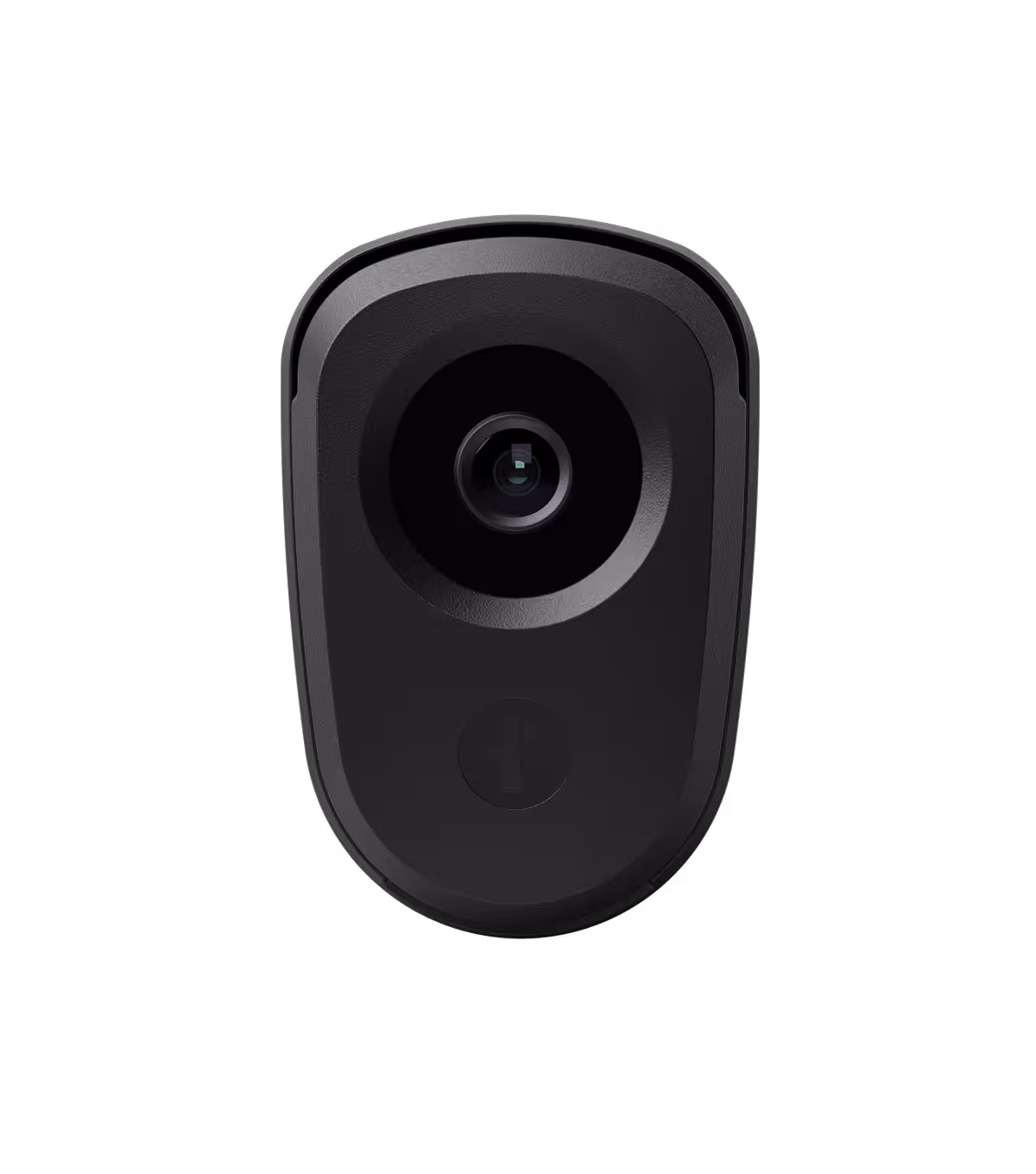
Public safety drones like Flock DFR offer mission-ready features, such as zoom capabilities, high-resolution video, thermal imaging, and low-light visibility, giving first responders reliable aerial views of high-risk situations before they deploy officers. They are a force multiplier, which is especially valuable with the push for LE budget cuts.
Of course, your choice of drone technology will determine its effectiveness and value for your agency. Here, we look at the must-have capabilities for public safety drones.
Key takeaways
- Public safety drones have evolved into mission-critical tools that improve response times, situational awareness, and officer safety.
- Drone as First Responder (DFR) systems provide real-time aerial intelligence before ground teams arrive.
- Essential features include thermal imaging, optical zoom, extended flight time, weather resistance, and encrypted data handling.
- Integration with CAD, LPR, gunshot detection, and real-time crime centers enhances operational efficiency.
- Scalable, automated drone platforms help agencies expand coverage without significantly increasing staffing or workload.
Why drones have become essential for public safety operations
Public safety drones are mission-critical for agencies because they:
- Provide real-time visibility into high-risk situations.
- Get to scenes faster than ground teams.
- Reduce risk to public safety crews by improving their situational awareness.
- Provide aerial views of places that ground teams and vehicles can’t reach, like steep terrains or dense forests.
Public safety drones are also cheaper, can deploy faster, and require less human intervention than manned aircraft like helicopters. Flock DFR drones, for example, take an average of 86 seconds to reach calls for service, which is a fraction of the time it would take to get a manned aircraft ready.
Public safety drones are invaluable in a wide range of operations, including:
- Search and rescue
- SWAT overwatch
- Firefighting and wildfire assessment
- Responses to disasters such as floods and earthquakes
- Crime scene documentation and reconstruction
- Traffic and crowd monitoring
Core features that define a mission-ready public safety drone
Modern law enforcement agencies face a wide range of challenges that public safety and emergency response drones can help mitigate, such as:
- Slow responses: Drones can get to calls within minutes.
- Difficulty triaging calls: Public safety drones can provide visuals before officers arrive, enabling control teams to prioritize calls based on urgency or risk.
- Lack of situational awareness: They provide details like suspects’ positions, allowing for strategic officer deployments in high-risk incidents. This can enhance officer safety during calls.
- Limited aerial support: They can provide a real-time 360-degree view of situations to facilitate well-informed tactic adjustments.
- Public trust, privacy, and transparency concerns: Some drone programs, like Flock DFR, log all flight details to promote community trust.
However, not all public safety drones can help solve these pain points. To ensure yours do, look for the following features when assessing your options.
Thermal imaging and low-light visibility
Calls don’t always come during the day or involve locations with clear visibility. Officers will probably need to respond to more than a few calls in dark, smoky, foggy, or largely obscured locations.
To ensure optimal visibility in these situations, look for drones with thermal imaging and low-light features. Thermal cameras allow them to detect heat differences, showing officers where people are, even in total darkness. Low-light visibility, on the other hand, gives teams reliable imaging in low illumination areas to help ensure a complete and accurate picture of the situation.
These features are essential when:
- Locating suspects hiding in thick vegetation.
- Finding trapped victims in rubble.
- Running search and rescue missions at night or in forests.
- Identifying hotspots during fires or building collapses.
Zoom and high-resolution video
First responders often need detailed visual information when responding to calls.
- Officers need license plate IDs when responding to robberies.
- SWAT teams need suspect confirmations during busts.
- Investigative teams need suspect info to support their cases.
- Firefighters and emergency medical teams need to identify structural cracks before entering collapsed buildings.
This is why zoom capabilities and high-resolution sensors are important.
Flight time and battery management
The last thing you want is a drone that can’t fly far enough or stay on the scene long enough to provide valuable information. Typical drone flight times range from 15 minutes to an hour per battery, depending on their make. Unfortunately, this isn’t enough time to capture all the necessary details.
So look for battery management features that promote endurance, such as hot-swap capabilities and rapid charging hubs to maintain uninterrupted operations.
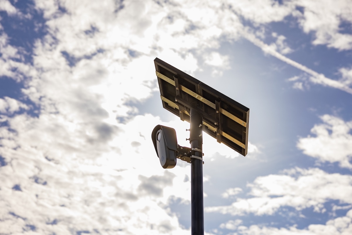
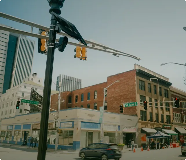
Flock DFR supports continuous flying by offering two docking station options: a fast contact-charging dock and a battery-swapping dock. This minimizes gaps in operations, helping teams plan public safety operations effectively.
Weatherproofing and obstacle avoidance
Some public safety operations occur in adverse conditions and cluttered environments, such as when it’s raining or in areas with dense vegetation. The problem is that not just any standard drone can operate in these types of situations.
To promote continuous mission reliability, assess manufacturer-specified environmental ratings (like operating wind speed) and compare them to your area’s typical weather conditions to make sure potential drones are a good fit.
Multi-directional obstacle avoidance features like radar, LiDAR, and vision systems are also invaluable for helping drones automatically detect and avoid obstacles like trees. Meanwhile, stable GPS features like Real-Time Kinematic (RTK) and Post-Processed Kinematic (PPK) facilitate precise incident mapping.
Data security and compliance
Some drone missions may result in the collection of sensitive data, such as license plate numbers and suspect information. If mishandled, this data can compromise investigations or violate individuals’ privacy, potentially exposing public safety agencies to lawsuits.
To protect your department, choose a drone program that comes standard with encryption, tamper-evident logs, and chain-of-custody support, like Flock DFR.
Flock uses KMS-based encryption and stores all law enforcement data in the Amazon Web Services (AWS) GovCloud, which is only accessible by LE agencies. Further, Flock DFR logs every flight to promote auditability.
How drones improve real-time situational awareness
Flock DFR and other drone-as-first-responder (DFR) systems integrate with real-time alert solutions like gunshot detection tools and license plate reader cameras. This allows them to launch automatically and respond to known threats without waiting for human intervention.
Auto-deployment functionality means drones can get to incidents like shootings, robberies, and vehicle pursuits quickly and provide instant aerial views before ground teams arrive on scene. With real-time aerial perspectives:
- Command teams can deploy ground crews effectively: Drones can let command centers know whether incidents are more or less of a threat than reported. If more, they can deploy multiple units, and if less, they can route units to higher priority calls.
- Ground teams can approach situations safely: Knowing where suspects or victims are can help teams plan entry points and strategies that minimize risk.
- Investigative teams can better collect evidence: Aerial perspectives can cover large areas and potentially reveal evidence that ground teams might miss, like clothing lodged in trees.
- Teams can clear calls: Drone videos can help confirm the authenticity of incident reports, saving agencies from sending patrol resources to false alarms. This can save valuable time and resources, which is critical amid public safety budget cuts.
How top agencies deploy drones in real-time operations
DFR is already transforming public safety, and many agencies have already implemented the technology into their missions. Some of their real-world applications include:
Patrol and rapid response
First responders launch drones to patrol crowd events, support vehicle pursuits, assess domestic disturbances, locate missing persons, and even respond to natural disasters. Some drones, like Flock DFR, dispatch automatically upon alerts from LPRs and gunshot detection systems.
Using drones for patrol and call response gives public safety agencies additional context for well-informed decisions. They can determine how many units to send to locations based on call urgency and priority, as well as develop strategies for approaching high-risk situations like disaster responses and hostage scenarios.
Firefighting and disaster visibility
Firefighting departments and EMTs take advantage of drones’ thermal sensors and high-angle views to assess disaster impacts, identify victims’ locations (by looking for heat signatures), and gain a better understanding of surrounding buildings (or areas). With this information, they’re able to identify the most suitable points of ingress and egress rather than relying on trial and error methods.
Search and rescue missions
Search and rescue operations teams use DFR technology to look for survivors, as it allows them to cover more ground faster, potentially saving lives.
Further, they fly above ground and have thermal payloads, features that enable them to navigate areas ground crews can’t access and identify survivors in locations the human eye can’t, like heavily wooded areas.
Crime scene documentation
Public safety drones help with evidence collection by capturing aerial videos and images of crime or accident scenes. With this data, investigative teams can process evidence faster and reconstruct accident scenes with greater accuracy. This not only reduces the burden on officers but also facilitates stronger case building.
What to consider when evaluating drone platforms
While it’s important to assess individual drone specs like thermal imaging and optical zoom capabilities, these features shouldn’t be the only things you focus on. Evaluate each potential drone platform to make sure your choice aligns with your agency’s needs when it comes to:
- Ease of use: This is a key consideration for agencies with both tech-savvy and non-tech-savvy officers, as it can promote faster implementation.
- Integration capabilities: Find a platform that works with existing technologies, like gunshot detection systems, for quick dispatch.
- Reliability: Assess specs and customer reviews to confirm your potential system can handle lengthy operations without crashes.
- Autonomy: Reduce pilot workload by choosing a drone program that can launch automatically based on alerts from dispatch and existing public safety systems.
- Scalability: Choose a platform that can grow with your agency.
- Transparency: Make sure your chosen platform can provide flight details on demand to help build community trust.
Flock DFR is a leading choice for many agencies, as it delivers an intuitive platform that:
- Integrates with systems like computer-aided dispatch (CAD), LPR, and gunshot detection
- Includes expert regulatory guidance and continuous white-glove support
- Facilitates up to a 71% improvement in response times
- Logs all flights and makes them visible via a community dashboard
Want to see Flock DFR in action? Book a demo today.
Scaling your drone program without adding workload
Chances are, you’ll want to scale your drone program once you’ve proven the value. To streamline this process, choose a drone platform and supplier that can grow with your needs. Flock, for example, works with agencies of varying sizes across the country and has proven scalability.
Vital steps to consider when scaling your program include:
- Selecting drone pilots: You may need to hire additional experienced pilots if your drones require manual launching. Fortunately, this isn’t a concern with DFR 2.0 systems like Flock DFR, which are designed for easy operation by anyone. Pilots only need a Part 107 license from the Federal Aviation Administration (FAA).
- Define standard operating procedures (SOPs): Prepare drone flying instructions to guide new pilots. Flock can help you with this as part of our white-glove support.
- Integrate systems: Connect your drone platform to tech stacks across other departments or regions to reduce manual input. Again, the Flock team can help with this.
- Ensure compliance with existing regulations: Flock can provide regulatory compliance support to help minimize your risk.
Flock DFR is easy to scale because it’s automated. This minimizes the need for manual piloting or specialized training. So it can complement existing unmanned aerial vehicle (UAV) programs without overburdening your team, as it doesn’t require dedicated, full-time drone pilots.
Take the next step toward smarter public safety operations
Public safety drones provide invaluable situational awareness to promote officer safety and facilitate well-informed resource allocation. However, drone programs can only be successful if they align with expected missions. So take the time to compare potential programs’ capabilities to your mission needs before making a choice.
Flock can help you get your drone program off the ground quickly. We not only provide drones but also all supporting tools and services, such as batteries, sensor payloads, docking stations, white-glove support, and a real-time crime center platform. We also offer complementary technology like gunshot detection systems and LPRs to enhance drone response times to threats.
With Flock DFR, your agency gets cost-effective, always-on aerial intelligence that adds minimal training and overhead.
Want to enhance public safety with reliable DFR technology? Book a demo today to see how Flock can help.
FAQs
What is a public safety drone?
A public safety drone is an unmanned aerial system designed specifically for law enforcement, fire, EMS, and emergency response operations. These drones include advanced sensors, secure data handling, and integration capabilities that support mission-critical deployments.
How are DFR drones different from traditional police drones?
Traditional police drones are typically launched manually and operated on demand. Drone as First Responder (DFR) systems launch automatically from docking stations in response to calls, alerts, or predefined triggers, providing faster and more consistent aerial coverage.
Are public safety drones compliant with federal regulations?
Yes, when deployed properly. Agencies must comply with FAA requirements, including Part 107 licensing, airspace authorizations, and waiver approvals where applicable. Many DFR providers offer support with regulatory compliance and waiver processes.
How long can public safety drones stay airborne?
Flight time varies by platform, but mission-ready drones typically offer 30 to 60 minutes per battery. Some DFR systems include rapid charging or automated battery swapping to enable continuous coverage.
Do drones replace helicopters in public safety operations?
In many scenarios, drones provide similar aerial intelligence at a fraction of the cost and with faster deployment. While they may not replace helicopters in every situation, they often serve as a cost-effective force multiplier for patrol, search and rescue, and disaster response.


Protect What Matters Most.
Discover how communities across the country are using Flock to reduce crime and build safer neighborhoods.