
.webp)







5 Places Your Community May Need Better Coverage
From parks and trailheads to maintenance yards and community events, learn where license plate readers and video can help city teams understand incidents and coordinate response.

A city is more than streets, intersections, and government buildings.
It includes the park where families spend Saturday mornings. The trailhead filling up before sunrise. The maintenance yard storing equipment that keeps city services running. The public space hosting hundreds of people for a summer festival.
Each place plays a different role in community life and presents different coverage needs. A broader safety and security plan should account for all of them.
That starts with a simple question: Where could your teams use a clearer view of what is happening?
Here are five places worth reviewing.
1. Parks and recreation spaces
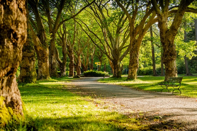
Parks bring together playgrounds, athletic fields, parking areas, recreation centers, pools, and other facilities that can span significant ground.
For the departments responsible for these spaces, issues can include vandalism, property damage, theft, illegal dumping, vehicle activity, and safety concerns involving visitors.
Useful coverage can provide context when teams need to understand what happened, when it happened, and what activity or vehicles may have been involved. License plate recognition can help provide vehicle information around entrances and parking areas, while video cameras can add visual context across key locations.
Consider where people arrive, where vehicles travel, where city property is stored, and which areas see daily activity.
Which parts of your parks would be hardest to assess after an incident?
2. Trailheads and open spaces
Trailheads, preserves, greenways, and other open spaces present a different coverage challenge.
They can be geographically dispersed, lightly staffed, and located far from other city facilities or existing power and network infrastructure. Parking areas and access points may also serve as the primary places where teams can gather useful information.
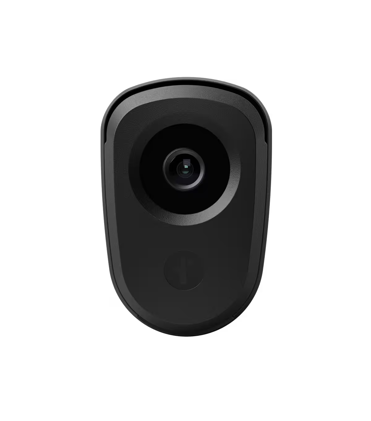
Solar-powered LPR and video cameras can help provide vehicle and scene context at key entry points. That information can support teams as they review reported activity and coordinate with the appropriate department or law enforcement agency.
Start by looking at access roads, parking areas, major entrances, and other locations where activity naturally concentrates.
If a safety concern were reported at a remote trailhead today, would your team have the coverage needed to understand what happened?
3. Public works and maintenance yards
Public works facilities support the everyday operation of a community. They can also contain vehicles, tools, fuel, materials, and equipment that departments rely on every day.
That makes understanding activity around entrances, exits, parking areas, equipment storage, and perimeters valuable for city operations.
LPR can provide searchable vehicle information at key access points. Video can add broader scene context, helping teams review activity associated with theft, property damage, unauthorized access, dumping, or other activities.
A coverage review can also bring multiple departments into the conversation. Public works, facilities, security teams, and law enforcement may each rely on different pieces of information when responding.
Could your team quickly understand vehicle and site activity around your maintenance facilities?
4. Critical infrastructure
Water facilities, utilities, transportation assets, communications sites, and other essential infrastructure support services residents rely on every day.
These locations may have limited staffing or sit across a wide geographic footprint. A strategic coverage plan can help teams understand activity around selected access points, parking areas, gates, and other high-priority locations.
Combining LPR with video gives teams different forms of context. Vehicle information can help establish when and where a vehicle was present. Video cameras can provide a broader view of activity at the scene.
That context can help departments assess an event and coordinate the appropriate response.
Which infrastructure sites would benefit from clearer information about activity around selected access points?
5. Event and community spaces
Farmers markets, festivals, concerts, parades, sporting events, and civic gatherings can all change how a public space operates for a day or season.
Community spaces can change significantly when an event arrives. Parking patterns shift. Temporary entrances appear. Traffic increases. Departments that usually operate separately may need to coordinate closely.
Coverage planning can help teams prepare for these changes.
LPR can provide vehicle information around selected approaches, and video can provide scene context at selected, publicly visible locations. Together, they can help teams understand reported incidents and share timely context across departments.
Event planning is also an opportunity to think beyond permanent installations. Solar-powered deployment can give teams more flexibility to extend coverage to locations that support a specific gathering or seasonal need, without depending on existing power or network infrastructure.
When your next major community event begins, will teams have useful coverage across its busiest areas?

Take a wider look at your community
Every department sees a different map of the same community.
Parks teams think about fields and recreation centers. Public works teams think about yards and equipment. City leaders think about infrastructure and public spaces. Public safety teams think about the information they may need when something happens.
Bringing those perspectives together can reveal areas that deserve another look.
Walk through your community’s parks, trailheads, facilities, infrastructure, parking areas, and event spaces. Consider where coverage exists today, where gaps remain, and where LPR and video cameras could give teams a more complete picture when incidents occur. Then identify the locations where additional coverage could help teams respond with greater awareness and coordinate more effectively.
A stronger coverage strategy starts with knowing where clearer information can help.
Explore how Flock LPR and video can support coverage across your community.
FAQs
Q: Where should cities consider adding LPR and video coverage beyond streets and intersections?
A: Cities should review shared and operational spaces where incidents can be difficult to understand after the fact, including parks, trailheads, public works yards, critical infrastructure, parking areas, and event spaces. These locations may be lightly staffed, geographically dispersed, active only during certain times, or otherwise difficult to cover with existing infrastructure.
Q: How can LPR and video help city teams review incidents in parks, trailheads, and public spaces?
A: LPR can provide searchable vehicle information around entrances, exits, access roads, and parking areas. Video can add broader scene context at key locations, helping teams understand what happened, when it happened, and what next steps may be appropriate.
Q: What should a city evaluate before expanding safety camera coverage?
A: City leaders should identify where people arrive, where vehicles travel, where equipment or public property is stored, and which areas would be difficult to review after an incident. A practical coverage review should include input from parks, public works, facilities, public safety, and other departments that may use the information.
Q: Can Flock support coverage for community events or temporary needs?
A: Flock LPR and video can support coverage planning for event spaces where traffic patterns, parking areas, and access points change during festivals, concerts, parades, markets, and other gatherings. Flexible, solar-powered coverage can help teams add context in high-activity areas when coordination across departments is especially important without relying on existing power or network infrastructure.
Photo Credit:


Protect What Matters Most.
Discover how communities across the country are using Flock to reduce crime and build safer neighborhoods.