
.webp)









What Is the Right LPR Deployment Strategy for My City?
Compare options for a license plate reader deployment strategy that closes coverage gaps, supports governance, and scales with your city.

City leaders rarely start with cameras when deploying license plate readers (LPRs). They start with questions instead: Where are visibility gaps? Where do investigations stall? Where would better coverage improve outcomes?
LPR deployment works best when it’s treated as a targeted coverage strategy, not a blanket rollout. The goal is to place LPR cameras where they close gaps in vehicle visibility, support investigations, and create measurable value over time.
That means thinking about coverage in layers, including corridors, entry and exit points, and high-value locations, rather than isolated installation sites.
Just as important is how those cameras integrate with existing systems, how data is managed, and what policies are in place. Those factors determine whether a deployment provides actionable intelligence or simply generates more data.
Below, we’ll explore the key considerations for placing cameras, connecting data, establishing governance, and expanding coverage as your city’s needs evolve.
Key Takeaways
- An effective LPR deployment strategy starts by defining the vehicle-related problem your license plate reader cameras need to solve, not by choosing camera counts first.
- Coverage planning works best when teams map entry points, exit routes, and recurring visibility gaps before placing license plate reader cameras.
- A scalable strategy treats license plate reader cameras as a connected information system, where interoperability and reliable connectivity can extend coverage across jurisdictions.
Deployment Strategy Starts With Objectives, Not Cameras
A strong LPR deployment begins with a clear goal. The focus should be on whether your coverage supports the outcome you’re trying to achieve, rather than the number of cameras you deploy.
Many cities reach this stage after deciding LPR technology has a role to play. The challenge becomes designing coverage that fits the objective, whether that’s helping investigators reconstruct vehicle movements, improving visibility at city entrances, or building better perimeter awareness around important locations.
Camera locations aren’t the starting point. Every placement should serve a specific purpose. Otherwise, it’s easy to add camera hardware without closing meaningful coverage gaps or generating information that supports investigations.
Define the Specific Problem Your Deployment Must Solve
With your overall objective established, the next step is defining the specific operational problem your deployment needs to solve. Well-defined use cases make it easier to design coverage around that problem.
For example:
- Locate stolen vehicles
- Find vehicles associated with wanted suspects
- Support missing-person, Amber Alert, and Silver Alert cases
- Identify vehicles connected to serious crimes
- Respond more quickly to active threats
Once you define these use cases, you can govern and evaluate the deployment more effectively. Tie each objective to a measurable outcome, then review performance regularly. As priorities evolve, you can adjust coverage without guessing what needs to change.
How to Identify Coverage Gaps Before Placing a Single Camera
Placement works best when you identify where visibility breaks down, rather than where a camera can physically go. These blind spots often appear at jurisdiction edges, along connector roads between main routes, or where vehicles move through faster than the current setup can capture. Use a simple three-step process to identify coverage gaps:
- Map how vehicles move through the area, including entries and exits, major corridors, and common dwell points such as traffic lights, parking entrances, and pick-up/drop-off areas.
- Layer that map with real-world activity, including incident locations, response routes, and existing camera views.
- Identify where movement patterns and existing visibility do not align, because those locations are where coverage is thin.
From there, teams often start with locations that see consistent vehicle movement, then refine placement as operational patterns become clearer.
Map Vehicle Ingress and Egress Chokepoints
Every area has a handful of routes that most traffic depends on. Start by ranking inbound routes, bridges, and arterial connectors.
Those chokepoints tend to produce more consistent reads because most vehicle traffic passes through them. Once you’ve mapped those routes, move on to secondary interior roads to fill in the details and reduce blind spots between key points.
Overlay Crime Incident Data by Location and Time
This helps show where vehicle-related information is routinely missing, not just where incidents are happening. Start with your map, then layer in incident data based on these factors:
- Location
- Incident type
- Time of day
- Season
From there, look for recurring patterns. Pay attention to escape routes that emerge over time, time windows where visibility drops, and locations where law enforcement agencies frequently lack timely vehicle details during investigations. Volume alone is less useful than identifying these trends.
Deployment Considerations Across Sectors
The basic planning logic stays the same whether you’re working with city streets, residential communities, or private property. What changes are the priorities and the people making deployment decisions.
Each environment starts with the same questions: How is vehicle movement captured, and how does that visibility support day-to-day operations? From there, placement, permissions, and daily workflows adapt to the operating environment, whether that’s a public road network or a controlled-access property.
Law Enforcement and Municipal Agencies
Planning the use of LPR technology for law enforcement and municipal agencies usually centers on routes that recur across investigations, such as jurisdiction edges, known auto theft corridors, and regional connectors between cities and counties. These are also the pathways that often support Real Time Crime Center workflows.
LPR placement decisions depend on how each agency operates. Some prioritize faster case support, while others focus on reducing the time it takes to turn alerts into usable leads. Many also have to balance coverage with limited staff capacity.
Day-to-day workflows and approval processes also matter because responsibilities and coordination can vary significantly across jurisdictions.
Infrastructure and Connectivity
Deployment plans often look good on paper until infrastructure gets in the way. Power access and connectivity determine what gets covered and what never moves beyond the planning stage.
Solar and LTE help teams overcome those limitations. That makes it possible to place LPR cameras in more practical locations, such as remote corridors, undercover entry points, or stretches of roadway that were previously too expensive to support.
Build Governance Into Your LPR Deployment Plan From Day One
Governance needs to come before anything goes live. The decisions you make early on shape who can access data, how it’s used and stored, and whether stakeholders trust the system over time. Define the basics upfront:
- Authorized-use policies
- Data retention and deletion rules
- Access controls and audit logs
- Training, accountability, and alert verification
When governance policies are clear from the start, LPR deployment tends to move forward with fewer questions and greater confidence from oversight groups.
Plan for Scale: Treating Deployment as an Iterative Process
Most LPR deployments work best when they are based on what teams learn in the field. Agencies typically begin with the areas where visibility gaps create the greatest investigative challenges, then expand as needs evolve. A phased rollout usually unfolds in stages:
- Phase one focuses on the busiest chokepoints
- Phase two expands into surrounding gaps that connect those routes
- Later phases extend coverage farther, either across a region or an entire property network
Tracking success typically involves measuring these outcomes at the six- and 12-month marks:
- Officer adoption
- Investigative leads generated
- Stolen vehicle recoveries
- Time spent reviewing vehicle images or alerts
- Coordination across jurisdictions
Turn Your Coverage Gaps Into a Deployment Roadmap With Flock
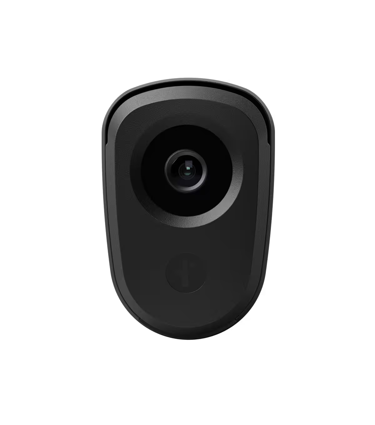
Flock helps teams turn visibility gaps into a practical deployment plan rather than a large infrastructure project. Solar powered and LTE-connected LPR cameras make it possible to cover locations without existing power or wiring, while Flock’s network-sharing capabilities can extend visibility beyond a single jurisdiction through customer-controlled permissions.
That combination lets agencies focus less on installation constraints and more on placing LPRs where they can support investigations, improve visibility, and deliver long-term operational value.
Whether you’re planning your first deployment or expanding an existing network, Flock can help you deploy license plate reader coverage in practical locations, connect that coverage to investigative workflows, and support governance requirements as your program grows.
Book a demo to see how Flock can help you deploy with confidence, extend investigative visibility, and scale your coverage over time.
FAQs
What is the best way to deploy license plate reader cameras?
The best way to deploy license plate reader cameras is to start with a narrow operational objective, then place cameras where they close a known visibility gap tied to that objective. A strong deployment strategy treats vehicle reads as investigative context, not just images, so every location supports faster response, clearer casework, or better access workflows.
What are the best locations for license plate reader cameras?
The best locations for license plate reader cameras are inbound lanes, entry points, and chokepoints where vehicles consistently enter a city. Teams should also overlay incident patterns, traffic flow, and places where investigations repeatedly lose visibility, because placement quality usually matters more than raw camera count.
Should we choose fixed or mobile license plate reader cameras?
Fixed and mobile license plate reader cameras serve different deployment needs. Fixed cameras provide continuous coverage at critical approaches, while mobile or temporary deployments add flexible coverage when needs change, such as events, targeted operations, or short-term problem areas.
How should governance shape a deployment strategy?
Governance should shape a deployment strategy before cameras go live. Set retention limits, role-based access, audit logs, and authorized uses upfront so policy leads the technology. Flock deletes data after 7 days by default, and customers control sharing, which can support privacy, accountability, and community trust.
How do we scale license plate reader cameras over time?
License plate reader camera programs scale best with a roadmap that starts with high-priority gaps, measures uptime and investigative usage, then expands where coverage consistently improves outcomes.
What is the best way to plan an LPR camera deployment for a city?
Start by defining the vehicle-related problem the deployment needs to support, such as investigative follow-up, stolen vehicle alerts, perimeter visibility, or cross-jurisdiction coordination. Then map where vehicle visibility breaks down and place LPR cameras where they close those gaps, rather than choosing camera counts first.
Where should license plate reader cameras be placed?
LPR cameras are typically most useful at locations where vehicle movement is consistent and strategically important, such as city entry and exit points or major corridors. Teams should also compare those routes with incident patterns and investigation workflows to identify recurring visibility gaps.
How does Flock support privacy and governance in an LPR deployment?
Flock is designed to support controlled, auditable use of LPR data. Customers define access, sharing, and authorized use policies; data deletes after 7 days by default; and system activity is logged through audit trails.


Protect What Matters Most.
Discover how communities across the country are using Flock to reduce crime and build safer neighborhoods.